See More, Protect More.

Elevating protection through precision aerial surveillance
About us
About us

We help detect and respond to security breaches with our unmatched aerial expertise & a global network of leading security service providers.

01
Safety
02
Accuracy
03
Innovation

FAQ

How do we ensure the accuracy of our data?

We ensure the accuracy of our data through a meticulous process:

  1. High-Resolution Data Collection: We use high-resolution data from the world’s leading satellite constellations and drone data. This allows us to capture detailed and accurate information about the sites we monitor.
  2. Data Processing and Analysis: Once we collect the data, we process it for analysis. This involves cleaning the data and preparing it for the next step.
  3. Artificial Intelligence (AI): We use AI to analyze the processed data. AI helps us identify patterns and insights that might not be apparent through manual analysis.
  4. Verification: After the AI analysis, we verify the results to ensure their accuracy. This involves cross-checking the AI’s findings with known information about the site.
  5. Continuous Improvement: We continually refine our AI models and data collection processes based on feedback and new information1. This helps us maintain the accuracy of our data over time.

By following these steps, we strive to provide the most accurate and reliable data-led business solutions

How do we use artificial intelligence?

we use artificial intelligence (AI) in several ways to optimize operations and provide data-led business solutions:

  1. Data Collection and Analysis: We collect high-resolution data from the world’s leading satellite constellations and drone data. This data is then processed and analyzed using AI.
  2. Problem Identification and Solution Presentation: We begin by locating the problem on the dedicated site. Once we know where the problem is, we collect the data about that site and then process the data for analysis. The data is then analyzed through the use of AI and the solution is then presented.
  3. Predictive Maintenance: Our AI models facilitate timely predictions for efficient asset operations and maintenance activities. This helps in proactive maintenance and reduces downtime.
What industries do we serve?

We serve a variety of industries with our data-led business solutions. Here are some of the key sectors we cater to:

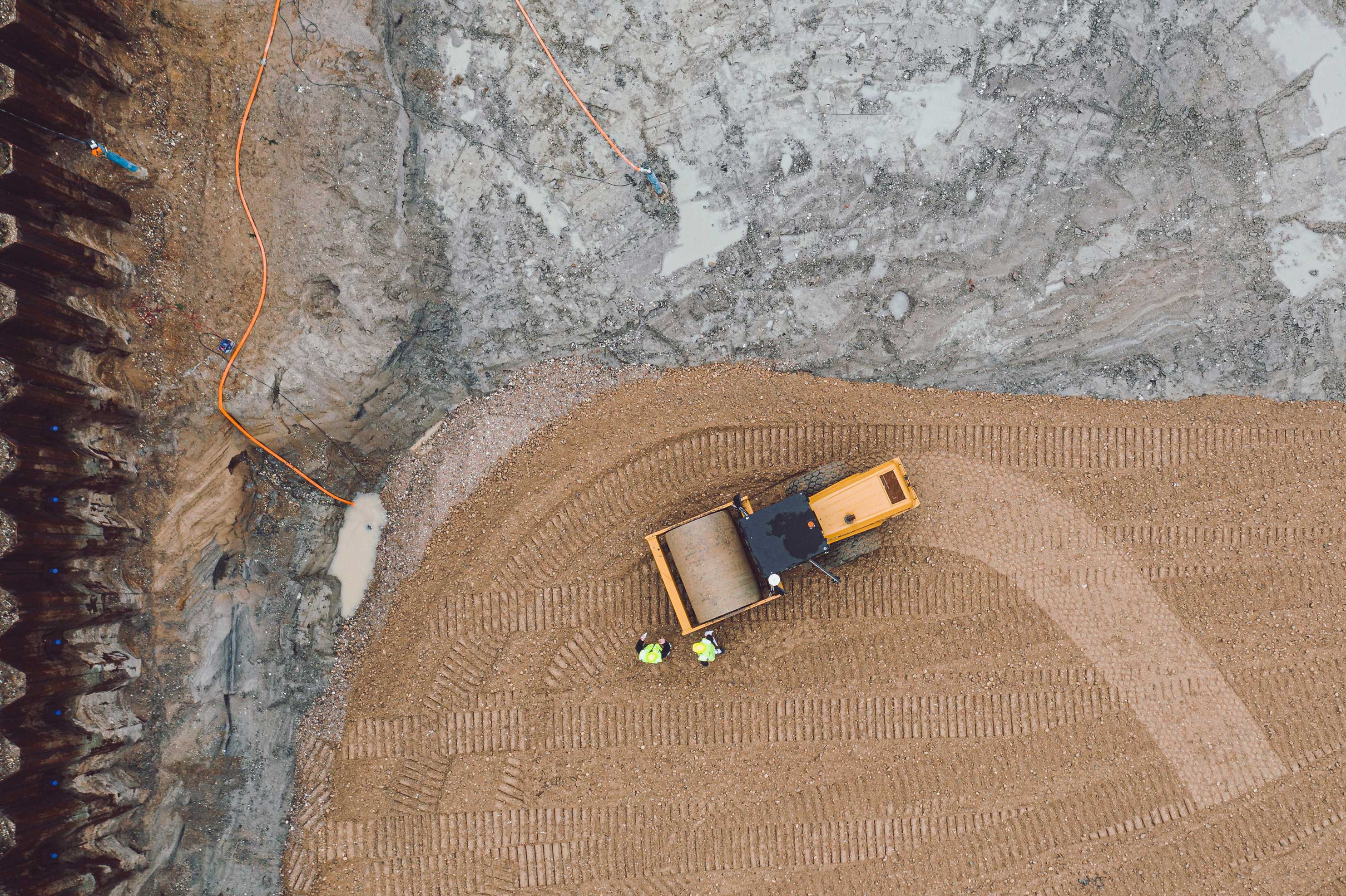
  1. Construction: We enhance operational efficiency by reducing human inspections using high-resolution satellites and drones which help inspect construction sites.
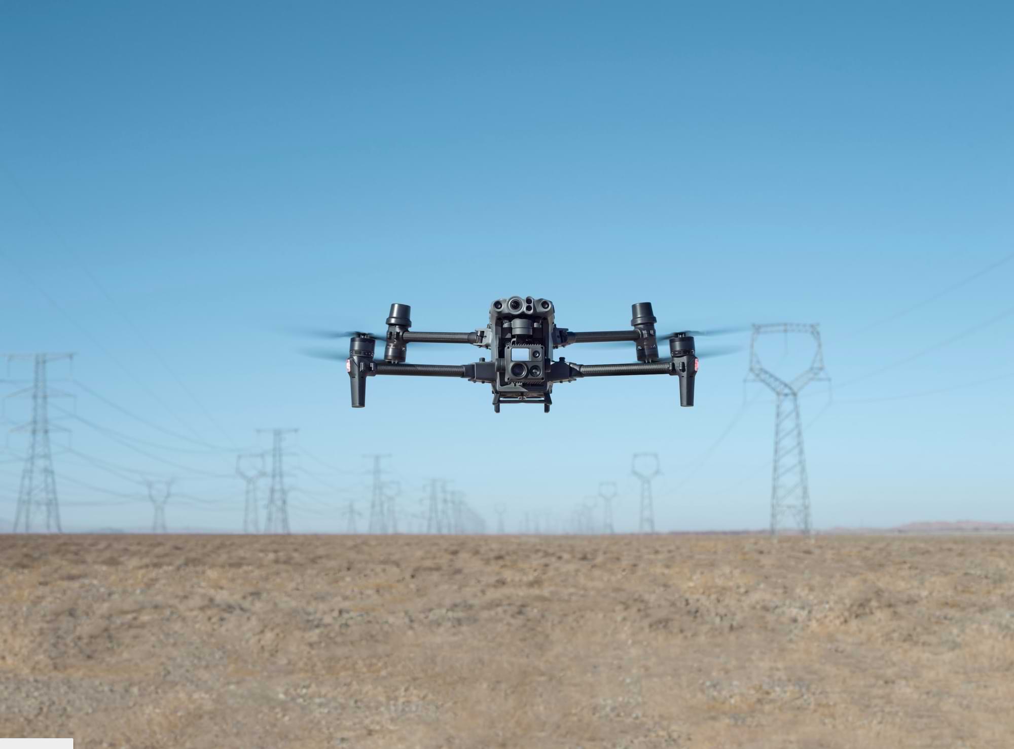
  2. Infrastructure: We inspect railroads, powerlines, pipelines, and other linear infrastructure using high-resolution satellites and drones.
  3. Security & Surveillance: We use effective drone surveillance to monitor activity on properties and provide advanced warning of any trespassers.
  4. Mining & Aggregate: We capture high-accuracy survey data and generate 3D digital models to document progress at every life stage of the project.

Unlock the Power of Data

Explore our wide range of services and let us help you make data-driven security decisions.

drone Data-led business solutions

Improve your business operations by implementing cost-effective data-led solutions, through the use of drones and satellite technology.
Get started

Propel your business into the future

We help organisations optimize operations by collecting and analyzing geospatial imagery and data driven by artificial intelligence. 
learn more

Precise steps ForAccurate Results

These are the steps we take to make sure that we get the best results for your organisation.

01

We begin by locating the problem on the dedicated site

02

Once we know where the problem is, we collect the data about that site and then process the data for analysis

03

The data is then analysed through the use of Artficial Intelligence and the solution is then presented.

Propel your business into the future

We help organisations optimize operations by collecting and analyzing geospatial imagery and data driven by artificial intelligence. 
learn more

Precise steps ForAccurate Results

These are the steps we take to make sure that we get the best results for your organisation.

01

We begin by locating the problem on the dedicated site.

02

Once we know where the problem is, we collect the data about that site and then process the data for analysis.

03

The data is then analysed through the use of Artficial Intelligence and the solution is then presented.

Solutions For Businesses Across Different Sectors

01

Construction

We provide a turnkey drone mapping and data analytics solution for civil construction and earthworks operations and achieve fast and reliable visual data of a construction site and maximise productivity and efficiency through our drone powered solutions.


02

Infrastructure

We enhance operational efficiency by reducing human inspections using high-resolution satellites and drones which help inspect railroads powerlines, pipelines and other linear infrastructure.


03

Security & Survelillance

We use an effective drone surveillance to monitor activity on the property and provides advanced warning of any trespassers, in addition to surveying specific areas.


04

Mining & Aggregate

We capture high-accuracy survey data and generate 3D digital models to document progress at every life stage of the project. We then store all your designs, surveys, and measurements in one place, making it accessible to your whole team.


01

We provide a turnkey drone mapping and data analytics solution for civil construction and earthworks operations and achieve fast and reliable visual data of a construction site and maximise productivity and efficiency through our drone powered solutions.


02

We enhance operational efficiency by reducing human inspections using high-resolution satellites and drones which help inspect railroads powerlines, pipelines and other linear infrastructure.

03

We use an effective drone surveillance to monitor activity on the property and provides advanced warning of any trespassers, in addition to surveying specific areas.

04

We capture high-accuracy survey data and generate 3D digital models to document progress at every life stage of the project. We then store all your designs, surveys, and measurements in one place, making it accessible to your whole team.